National Jute Board Expands Tech-Driven Crop Monitoring System With ISRO Collaboration

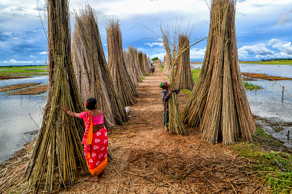
file photo/Getty Images
The National Jute Board has stepped up implementation of the Jute Crop Information System (JCIS), a technology-driven platform developed in collaboration with Indian Space Research Organisation and the Jute Corporation of India to improve crop monitoring and production assessment in the jute sector.
According to the Ministry of Textiles, the system integrates satellite imagery, weather analytics, vegetation indices and field-level inputs to enable near real-time monitoring of jute cultivation and production trends.
The project, being implemented since 2023, includes two digital tools — BHUVAN JUMP, a mobile application for field-level monitoring, and PATSAN, a web-based analytics platform designed to provide surveillance and crop-related assessments for officials and stakeholders.
Before the rollout of JCIS, crop area and yield estimates in the jute sector were largely dependent on fragmented field reports and manual data collection, often resulting in delays and inconsistencies, the ministry said. The absence of geo-referenced data and limited integration between satellite observations, weather inputs and ground-level assessments also affected planning and response mechanisms, particularly during floods, droughts and pest outbreaks.
The ministry said the new system has introduced a more structured and evidence-based approach to crop monitoring by combining multiple data sources on a single platform. The framework supports automated reporting, near real-time crop estimation and early warning alerts linked to weather and crop stress conditions.
Through its I-CARE field network, the National Jute Board has facilitated large-scale collection of geo-tagged field data using the BHUVAN JUMP application. The agency has also supported Crop Cutting Experiments using geospatial smart-sampling techniques aimed at improving the accuracy of yield estimation and production modelling.
According to the ministry, JCIS outputs are now being integrated into planning and monitoring processes within the sector, helping improve coordination between state and national-level estimates and enabling targeted interventions in jute-growing regions.
The system has also been used to develop flood impact assessment models based on satellite data and field validation to estimate crop and quality losses in affected areas. Weather analytics integrated into the platform are supporting district-level early warning systems for rainfall variation, dry spells and temperature fluctuations.
The Ministry of Textiles said future plans under the initiative include expanding JCIS coverage to more jute-growing districts, strengthening farmer advisory systems through mobile and SMS alerts, and integrating advanced analytics for sustainability measures such as water resource mapping and carbon-related interventions.
Officials said the initiative is expected to improve the accuracy of crop area, production and yield estimates and support policy formulation in the jute sector through a more data-driven approach.