Government Revises Policy Regarding Delineation of Gair Mumkin Khads
||Black and White Digital News ||
||Parvinder Singh July 31,2024 ||
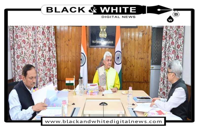
SRINAGAR: The Administrative Council, under the chairmanship of Lieutenant Governor Shri Manoj Sinha, has approved a revised policy for the delineation of lands recorded as Gair Mumkin Khads in revenue records. The meeting saw the presence of prominent officials including Advisor Rajeev Rai Bhatnagar, Chief Secretary Atal Dulloo, and Principal Secretary to the Lieutenant Governor Dr. Mandeep K Bhandari.
Gair Mumkin Khads are lands recorded in revenue records that are traditionally considered unsuitable for cultivation or construction due to their association with watercourses or seasonal streams. These lands have often been left underutilized, despite potential for development. The previous policy, detailed in Administrative Council Decision No. 17/01/2022 and Government Order No. 18-JK(Rev) of 2022, initiated a process for delineating these lands, but required further refinement for more efficient implementation.
Key Features of the Revised Policy:
Decentralized Authority:
Deputy Commissioners’ Role:Empowered to delineate state land based on recommendations from the District Level Committee, regardless of land size. For private lands, they can delineate up to 200 kanals per Khasra.
Divisional Committees: The Divisional Level Committee and Divisional Commissioner can handle delineation for lands ranging from 200-500 kanals per Khasra.
UT Level Committee: Will oversee and approve proposals for delineation exceeding 500 kanals.
Technological Integration:
The delineation process will incorporate advanced technologies such as Digital Elevation Models (DEM), Digital Terrain Models (DTM), and Hydrological/Hydraulic Modelling. These tools will ensure precision and reliability in identifying and mapping the lands.
Objectives and Expected Outcomes:
Industrial Expansion:The policy is expected to unlock significant land resources for industrial use, encouraging new investments and economic growth in the region.
Urban Development:Planned urban development is a major focus, with the potential to transform previously unusable lands into thriving urban spaces.
Environmental Considerations:The delineation will carefully consider environmental impacts, ensuring that true watercourses remain protected while non-watercourse areas are made available for development.
Detailed Process:
District Level Committees:These committees will conduct initial assessments and provide recommendations for delineation. They will utilize modern mapping and modelling techniques to ensure accuracy.
Simultaneous Operations:To expedite the process, delineation activities will be conducted simultaneously across various districts, employing standardized methods and technologies.
Transparency and Efficiency:The decentralized approach and use of technology aim to enhance transparency and efficiency, reducing bureaucratic delays and ensuring timely execution.
Stakeholder Involvement:
The revised policy involves close collaboration between various administrative levels and stakeholders. This includes landowners, local government bodies, and potential investors, ensuring that the process is inclusive and meets the needs of all parties involved.
The revised policy for the delineation of Gair Mumkin Khads represents a strategic shift towards utilizing underdeveloped lands for economic and urban development. By decentralizing authority and incorporating advanced technologies, the Jammu and Kashmir administration aims to foster a conducive environment for growth and investment, while ensuring environmental sustainability and efficient land management.